Point Details
Nearest Town: Orick
Location: North bank of Redwood Creek, end of Hufford Rd. off Hwy 101, Orick
Nearest Milepost
Mile Number:
Coordinates
41.292444794153, -124.08795761704
Trail Section
Humboldt Section 3
Notes
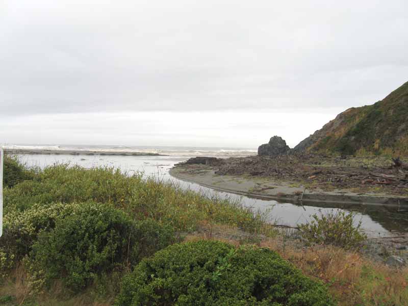
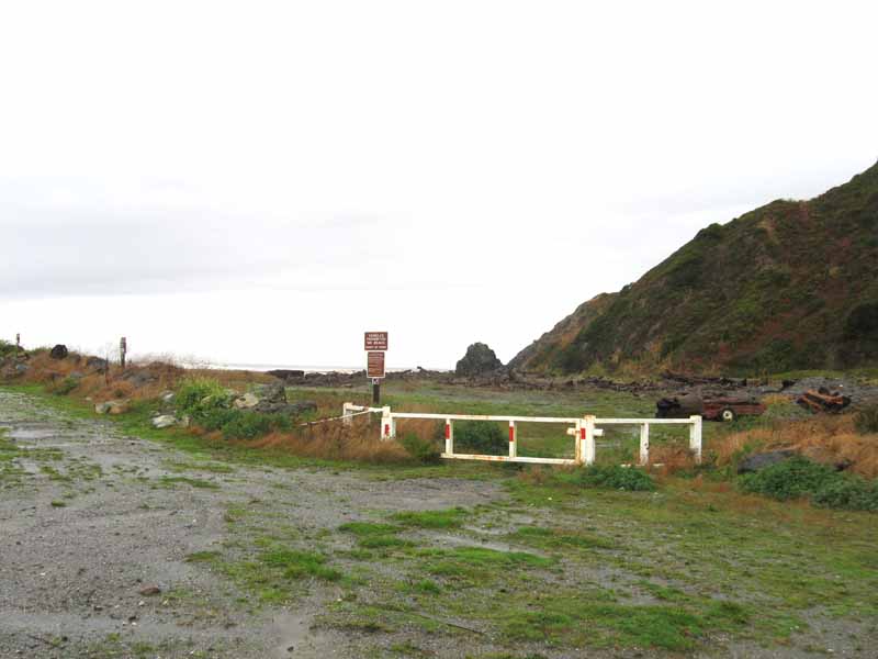
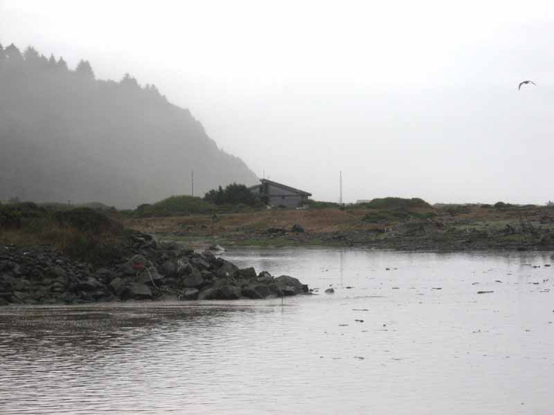
A long but beautiful drive out to the north bank of Redwood Creek estuary. Some fishing and walking along the shore north, but no way to cross the mouth.
Features
- CCC Access Point
- Parking
Aerial Photo from California Coastal Records Project


