Point Details
Nearest Town: San Pedro
Location: 1799 West Paseo del Mar 0.2 mi. downcoast from Western Ave.
Nearest Milepost
Mile Number:
Coordinates
33.718635576761, -118.32294883139
Trail Section
Los Angeles Section 10
Notes
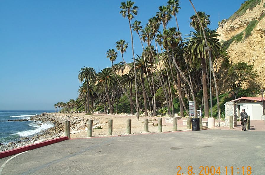
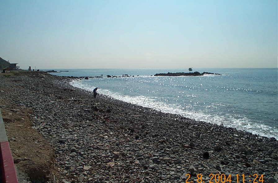
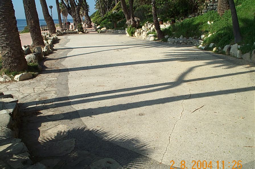
Open 7am to 10pm. Picnic tables. Extensive tidepools. Rocky beach - not good for swimming. Shoreline route is rocky & difficult walking both up and downcoast. The palm trees are from a former resort and night club. The outdoor terrazzo dance floor also remains.
Features
- Beach Trail
- CCC Access Point
- Drinking Water
- Entrance or Parking Fee
- Facilities for Disabled
- Fishing
- Hiking Trail
- Historic Feature
- Improved Surface
- Lifeguard
- Natural Surface Trail
- Other
- Parking
- Prominent Man Made Feature
- Prominent Natural Feature
- Public Transportation
- Restrooms
- Signage
- Surfing
- Telephone
- Viewpoint
Aerial Photo from California Coastal Records Project


