Point Details
Nearest Town: southern Monterey Co.
Location: Highway 1 north of Salmon Creek
Nearest Milepost
Mile Number:
Coordinates
35.821444742148, -121.3743699043
Trail Section
Monterey Section 15
Notes
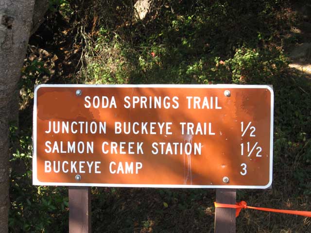
The short Soda Springs trail connects to the Buckeye Trail at one half mile.
Features
- Hiking Trail
- Natural Surface Trail
- Other Trail
- Parking
Aerial Photo from California Coastal Records Project


