Archive for August 2003
Vista Point 4 to Shamel County Park
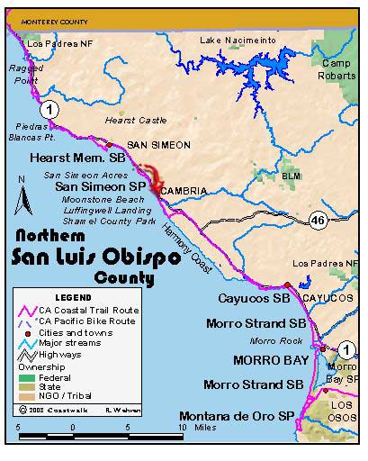
August 11, San Luis Obispo County Vista Point 4 to Shamel County Park. 14.8 miles A note from our layover day, August 10: In the AM, we had Shirley Bianchi, San Louis Obispo County 2nd District Supervisor, visit us at our camp at San Simeon State Park. We sat in an informal circle of camp…
Read MoreA Typical Day
August 10: San Luis Obispo County A Typical Day (Layover Day) Our log entries for this adventure have spoken primarily of movement and the impressions gathered as a result of that movement. Little information has been offered regarding the mechanics of the journey. For starters, just what exactly is a Melmobile? When last this walk…
Read MoreA Coastwalk Perspective on the Hearst Ranch
August 10: San Luis Obispo County A Coastwalk Perspective on the Hearst Ranch The spectacular and undeveloped Hearst Ranch is the largest piece of privately held coastal real estate in California. This almost entirely undeveloped land has been in the news for years as the question, how much development can be allowed on the parcel and how…
Read MoreRagged Point to Vista Point 4, just south of Point Piedras Blancas
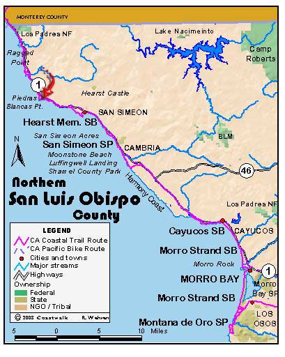
August 9, San Luis Obispo County Ragged Point to Vista Point 4, just south of Point Piedras Blancas. 12.6 miles Susan McDonald was formerly head of the docent program for the elephant seals along this section of the coast, which is part of the vast Hearst Ranch. Today, in her capacity as a consultant for…
Read MoreSalmon Creek to Ragged Point Inn
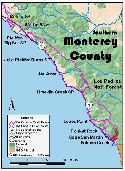
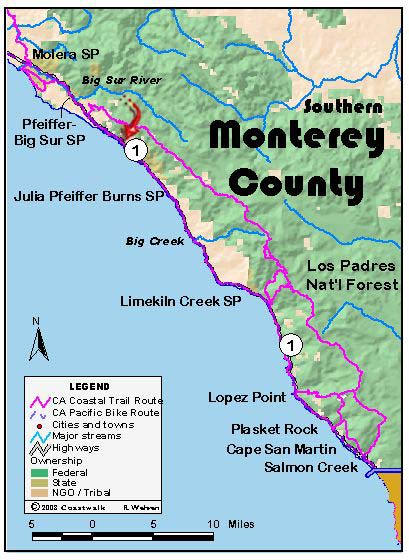
August 8: Monterey/San Luis Obispo County Salmon Creek to Ragged Point Inn. 3.8 miles A blessed short day! Because our local trail leader for the day was unable to hike due to health problems, we walked the road. Our original plan was to hike the Dutra Loop: another series of hiking trails similar to what we…
Read MoreGorda to Salmon Creek via the Cruikshank and Buckeye Trails
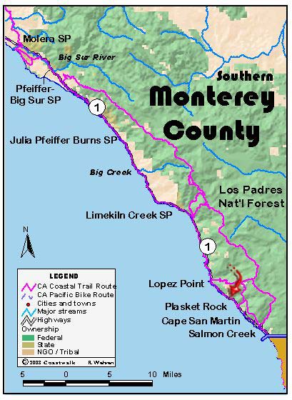
August 7: Monetery County Gorda to Salmon Creek via the Cruikshank and Buckeye Trails. 12 miles This is being written on the afternoon of August 8, which is good because it has given time for reflection. The last three days have all been more than 14 miles, and we are tired. On paper August 7…
Read MoreMile Post 23.6 to Gorda
August 6: Monterey County Mile Post 23.6 to Gorda. 14.8 miles We all (but one) broke the law today. But that came late in the morning, long after our start. That start saw us descend on the highway through sections of the Sur coast that are obviously on the move. Cracks and depressions can be…
Read MorePartington Cove to Mile Post 23.6
August 5: Monterey County Partington Cove to Mile Post 23.6 ±15.7 miles Today began with the promise of being a little cooler than yesterday: instead of a glassy sea before us, the surface was wind rippled right up to the surf line, promising cooling breezes to help us on our way. Alas, this was not…
Read MoreAndrew Molera State Park to Partington Cove.
August 4, Monterey County Andrew Molera State Park to Partington Cove. 14.5 miles This was a special day for the walkers. During the course of the day’s hike, we passed the site of the marriages of two of our walkers: Ginny and “J”. Their love of the coast runs long and deep. The day began cool…
Read MoreBixby Bridge to Andrew Molera State Park.
August 3, Monterey County Bixby Bridge to Andrew Molera State Park. 10.7 miles We were ready at 8:30 or so to begin at the north side of the Bixby Bridge. Joining us under overcast skies were our leaders for the day Henrietta Stern and Tom Biggs, Monterey County Coordinator Teri Bradley, Andrea McGee (daughter of…
Read More
