2003 Coastal Trail Expedition
Gorda to Salmon Creek via the Cruikshank and Buckeye Trails
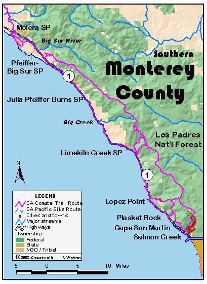
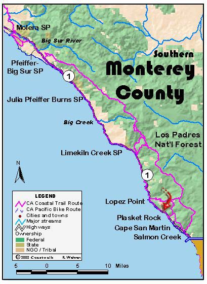
August 7: Monetery County Gorda to Salmon Creek via the Cruikshank and Buckeye Trails. 12 miles This is being written on the afternoon of August 8, which is good because it has given time for reflection. The last three days have all been more than 14 miles, and we are tired. On paper August 7…
Read MoreMile Post 23.6 to Gorda
August 6: Monterey County Mile Post 23.6 to Gorda. 14.8 miles We all (but one) broke the law today. But that came late in the morning, long after our start. That start saw us descend on the highway through sections of the Sur coast that are obviously on the move. Cracks and depressions can be…
Read MorePartington Cove to Mile Post 23.6
August 5: Monterey County Partington Cove to Mile Post 23.6 ±15.7 miles Today began with the promise of being a little cooler than yesterday: instead of a glassy sea before us, the surface was wind rippled right up to the surf line, promising cooling breezes to help us on our way. Alas, this was not…
Read MoreAndrew Molera State Park to Partington Cove.
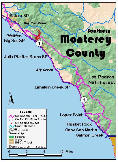
August 4, Monterey County Andrew Molera State Park to Partington Cove. 14.5 miles This was a special day for the walkers. During the course of the day’s hike, we passed the site of the marriages of two of our walkers: Ginny and “J”. Their love of the coast runs long and deep. The day began cool…
Read MoreBixby Bridge to Andrew Molera State Park.
August 3, Monterey County Bixby Bridge to Andrew Molera State Park. 10.7 miles We were ready at 8:30 or so to begin at the north side of the Bixby Bridge. Joining us under overcast skies were our leaders for the day Henrietta Stern and Tom Biggs, Monterey County Coordinator Teri Bradley, Andrea McGee (daughter of…
Read MoreLayover day at Julia Pfeiffer Burns State Park
August 2, Monterey CountyLayover Day at Julia Pfeiffer Burns State Park and View from a Relief Van Driver Layover Day At Molera State Park, down the dusty trail near the horse stables, is the tiny building housing the Big Sur Ornithological Laboratory. Here, for the past ten years biologists and volunteers have collected data on songbirds…
Read MorePoint Lobos to Bixby Bridge. 11.5 miles
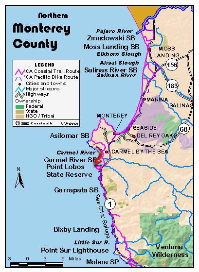
August 1: Monterey CountyPoint Lobos to Bixby Bridge. 11.5 miles. Today was self-guided – it was mostly road walking with just a few off-road excursions that were scouted out by Steve Jones. At first we walked by the lands of the Monterey affluent. Gated and walled homes and communities line both sides of Highway One…
Read MoreAsilomar to Point Lobos
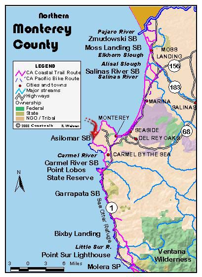
July 31: Monterey CountyAsilomar to Point Lobos. 9.1 miles Asilomar is a conference center administered now by the State Department of Parks and Recreation; formerly it was a YWCA conference site. Originally acquired with help from Phoebe Apperson Hearst in 1913, the original arts and crafts-style buildings were designed by Julia Morgan, distinguished California architect.…
Read MoreMarina State Beach to Asilomar
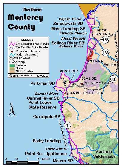
July 30: Monterey CountyMarina State Beach to Asilomar. 16.5 miles Ken Gray, Resource Planner with the State Department of Parks and Recreation, led the first half of our walk. Ken has been in charge of dune restoration at Marina State Beach and is currently on the City Council for the City of Marina. We began…
Read MoreMoss Landing to Marina State Beach.
July 29: Monterey CountyMoss Landing to Marina State Beach. 8.1 miles Our walk today was self-guided as we began at Moss Landing, a working harbor at the mouth of Elkhorn Slough. Across Highway One rise the stacks of a huge power plant owned by Duke Energy. We’ve been wonderfully out of the news loop for…
Read More
