San Mateo County
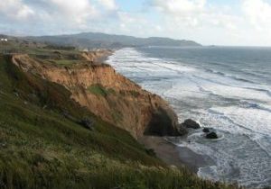
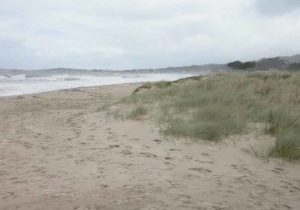
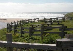
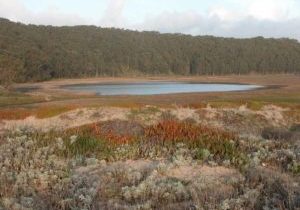
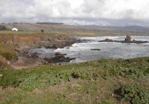
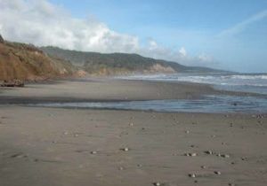
SPECTACULAR CLIFFS and prominent points interspersed with secluded pocket beaches characterize the San Mateo County coast. The cliffs range from the towering, unstable precipices at Daly City and Devil's Slide in the north to the low, erodible sandstone palisades south of Half Moon Bay. Along the varied San Mateo coast, you'll also find some of California's best tidepools, attractive beaches, fascinating geology, and the expansive dunes of Año Nuevo where the immense and once again abundant northern elephant seals merit a visit. The San Mateo coastline presents a remarkably rural face for most of its 55 miles considering it's so close to the metropolitan San Francisco Bay Area. The towns of Daly City and Pacifica bordering San Francisco have given in to the pressures of development, and Half Moon Bay has grown in recent years, but the southern half of the coast and the hills that separate it from the bayside cities are distinctly undeveloped. Here the public beaches and parks dotting the coastline and the hills to the east are interspersed with large private ranch holdings. Such a large amount of open space is extraordinary considering that the Ocean Shore Railroad ran between San Francisco and Santa Cruz from 1908 to 1920. The railroad's owners held large tracts of land which they wanted to develop as the "Coney Island of the Pacific Coast."
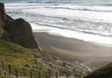
On the San Mateo coast's urban northern part, the CCT starts out on a remote sandy beach below steep cliffs, then follows streets and beaches and ascends headlands before climbing the shoulder of Montara Mountain on a historic wagon road. Returning to the coast, the CCT rolls through the little town of Moss Beach and past Fitzgerald Marine Reserve before reaching Pillar Point Harbor, the only anchorage on the San Mateo coast. From here the trail follows the curving shore of Half Moon Bay where hikers can walk the beach or take the paved Coastside Trail along the bluffs.
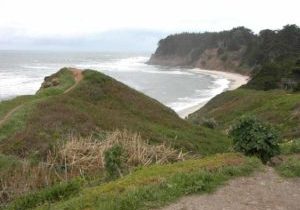
South of Half Moon Bay, the Coastal Trail follows Highway 1 and other coastal byways, bypassing privately owned land and tidal areas at the base of tall cliffs. The CCT returns to the immediate coast for stretches south of San Gregorio, but either irregular terrain or private land keeps forcing the CCT route back along the highway. Here one has access to gorgeous isolated beaches with several intriguing small villages just inland.
The coastline at the county's southern end seems SO far from the bustle of the Bay Area only 50 miles north. The CCT returns to an enchanting shoreline between Gazos Creek and Cascade Creek. Then, after one more highway stint, the San Mateo coast climaxes at Año Nuevo State Reserve, which provides a wondrous and diverse natural area most famous for its abundant elephant seals, but also notable for other marine mammals, excellent birding, ample dunes and beaches, and fractured geology.
Explore the Trail
Click a section to discover more detailed information on pieces of the trail that can be explored within a day. Find highlights of what each area has to offer as well as other resources.

