Archive for August 2003
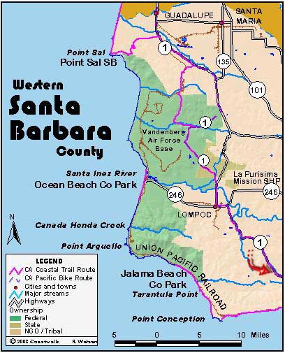
Floridale and Ocean Avenue Intersection to Mile Post 700 on Highway 1
August 21: Santa Barbara County Floridale and Ocean Avenue Intersection to Mile Post 700 on Highway 1. 14.6 miles This was the first of two inland days as we were here forced to go around the Bixby and Hollister Ranch properties. Today was entirely road walking. The first two or so miles took us to the…
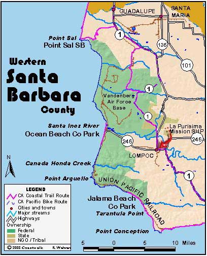
Read MoreIntersection of Lompoc-Casmalia Road to Floradale and Ocean Avenues
August 20, Santa Barbara County Intersection of Lompoc-Casmalia Road to Intersection of Floradale Avenue and Ocean Avenue. 12.9 miles Our campsite last night was at the Lompoc River Park, situated next to a seed farm. Our campsite was next to fields of purple and orange blossoms whose seeds would soon to be sold across the…
Read MoreBrown Road to Lompoc-Casmalia Road/San Antonio Road junction
August 19, Santa Barbara County Mile post 2.82 Brown Road to Lompoc-Casmalia Road/San Antonio Road junction. 15.8 miles This will be a short report because I’m tired. There are only so many ways one can describe walking down a road, and I’ve about exhausted all the ways I know. We had to walk many miles…
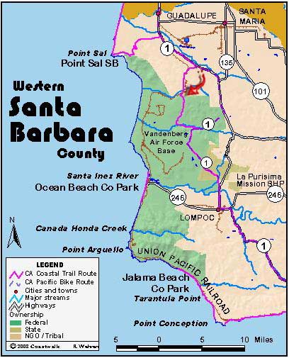
Read MoreGuadalupe Dunes to mile post 2.82 on Brown Road
August 18: Santa Barbara Guadalupe Dunes to mile post 2.82 on Brown Road. 14.1 miles Last night we stayed in the hostel/home of Bill Denneen. Bill is an environmental legend and long an advocate for the Nipomo Dunes habitat and the Point Sal region. Bill’s hostel is not describable by a poor scribe such as…
Read MorePismo Beach to Guadalupe Beach
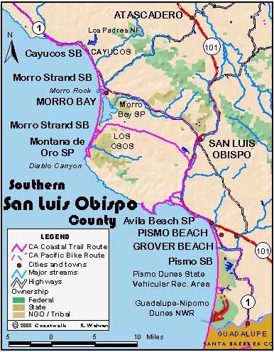
August 17: San Luis Obispo County Pismo Beach to Guadalupe Beach. 22.8 miles Yes, that is the correct mileage. We are in an area presenting a distinct cultural clash. A portion of the state park in the Nipomo Dune complex has been given over for the use of off-road vehicles. There is little coexisting with…
Read MoreAvila Beach to Pismo Beach State Park
August 16, San Luis Obispo County Avila Beach to Pismo Beach State Park. 9.3 miles Today was a somewhat lazy day as indicated by our total mileage. After cleaning up the rental house in Grover Beach, we drove back to Avila Beach to start the hike. With us were our two new section hikers who joined…
Read MoreLayover day or Foothill Road to Avila Beach
August 15, San Luis Obispo County Layover day or Foothill Road to Avila Beach. 10.8 miles This was our scheduled layover day, but several of us felt that we needed to make the effort and statement of going around PG & Es property at Diablo Canyon. To that end, we made a start yesterday and…
Read MoreMorro Bay to Moñtana de Oro.
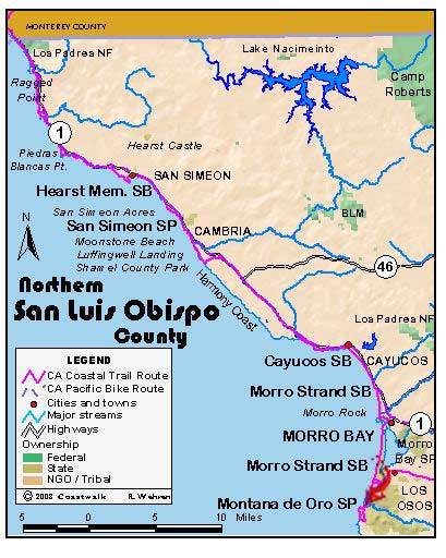
August 14, San Luis Obispo County Morro Bay to Montaña de Oro. 7.0 milesMontaña de Oro to Foothill Rd. 10.8 miles Yes, that’s right. Two hikes. The day started at 8 am when our mystery day leader appeared at the Morro Bay Harbormaster’s Office. We soon were ferried in two of the Harbor Patrol boats to…
Read MoreVilla Creek to Morro Bay
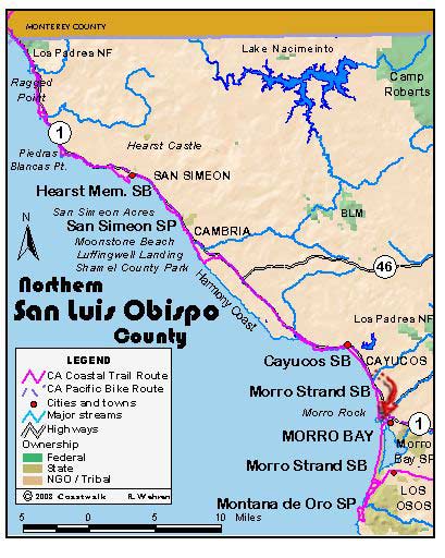
August 13: San Luis Obispo County Villa Creek to Morro Bay. 13.0 miles Our camp this morning was quite damp. The thick night fog had deposited moisture on every surface: our tents, equipment, the park tables. Breakfast was a stand up affair. After driving back to Villa Creek, we made our way to the beach via…
Read MoreShamel County Park to Villa Creek
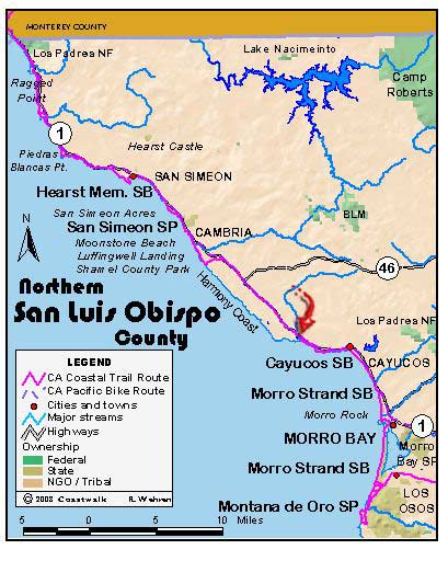
August 12: San Luis Obispo County Shamel County Park to Villa Creek. 14 miles plus a 3 mile round trip through SeaWest. 17 miles total Medical Update: J, Ginny, Max, Linda, Steve & Janette have poison oak to one degree or another. This morning we awoke to the yapping of an extremely small dog who…
Read More
