2003 Coastal Trail Expedition
Goleta Pier to East Beach.
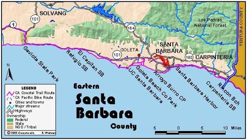
August 26, Santa Barbara County Goleta Pier to East Beach. 10 miles Note from yesterday: sometime in the late afternoon as we reached the University of California campus, we began our 900th mile of this journey. Today was to be a lazy day with plenty of leisurely beach walking. However, it didnt start out that way.…
Read MoreEl Capitan Beach State Park to the Goleta Pier
August 25: Santa Barbara County El Capitan Beach State Park to the Goleta Pier. 14.4 miles This morning we met our leader, Rob Almy, after we had already begun walking along the bike path in our camp at west end of El Capitan Beach toward the east, where we would have an access point down the…
Read MoreGaviota State Park to El Capitan Beach State Park
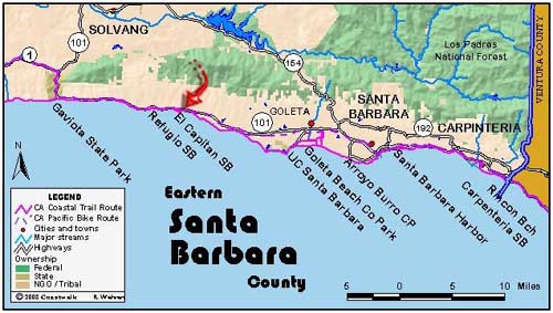
August 24: Santa Barbara County Gaviota State Park to El Capitan Beach State Park. 11.8 miles We were joined again by Mike Lunsford, retired State Parks Ranger, who acted as guide. We left Gaviota State Park under a clear sky and with very calm seas. For the first time on our journey, we were heading east,…
Read MoreA Santa Barbara Layover Day
August 23: Santa Barbara County A Santa Barbara Layover Day Today, the 23rd, was our layover day, and we scattered here and there to do this and that. All did laundry. Some went to see “Step into Liquid”, a new surfing movie. Those who did were partially motivated by chatting two days before to Chris…
Read MoreMile Post 700 on Highway One to Gaviota State Beach.
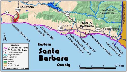
August 22: Santa Barbara County Mile Post 700 on Highway One to Gaviota State Beach. 10.8 miles We camped last night at Gaviota State Beach where it was windy and overcast. Out to sea, we could sea oil rigs in the Santa Barbara Channel and the Channel Islands beyond. Joining us during the night were Chris Pesenti,…
Read MoreFloridale and Ocean Avenue Intersection to Mile Post 700 on Highway 1
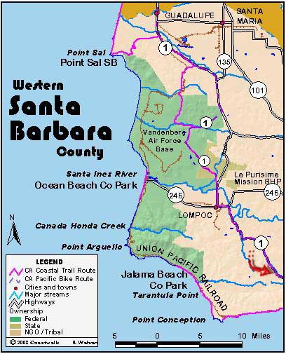
August 21: Santa Barbara County Floridale and Ocean Avenue Intersection to Mile Post 700 on Highway 1. 14.6 miles This was the first of two inland days as we were here forced to go around the Bixby and Hollister Ranch properties. Today was entirely road walking. The first two or so miles took us to the…
Read MoreIntersection of Lompoc-Casmalia Road to Floradale and Ocean Avenues
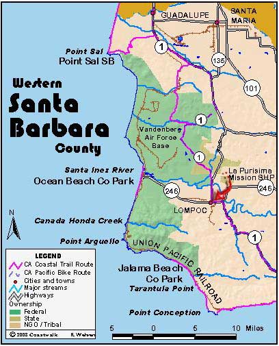
August 20, Santa Barbara County Intersection of Lompoc-Casmalia Road to Intersection of Floradale Avenue and Ocean Avenue. 12.9 miles Our campsite last night was at the Lompoc River Park, situated next to a seed farm. Our campsite was next to fields of purple and orange blossoms whose seeds would soon to be sold across the…
Read MoreBrown Road to Lompoc-Casmalia Road/San Antonio Road junction
August 19, Santa Barbara County Mile post 2.82 Brown Road to Lompoc-Casmalia Road/San Antonio Road junction. 15.8 miles This will be a short report because I’m tired. There are only so many ways one can describe walking down a road, and I’ve about exhausted all the ways I know. We had to walk many miles…
Read MoreGuadalupe Dunes to mile post 2.82 on Brown Road
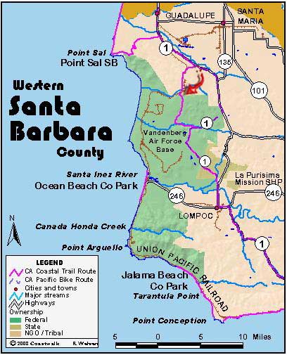
August 18: Santa Barbara Guadalupe Dunes to mile post 2.82 on Brown Road. 14.1 miles Last night we stayed in the hostel/home of Bill Denneen. Bill is an environmental legend and long an advocate for the Nipomo Dunes habitat and the Point Sal region. Bill’s hostel is not describable by a poor scribe such as…
Read MorePismo Beach to Guadalupe Beach
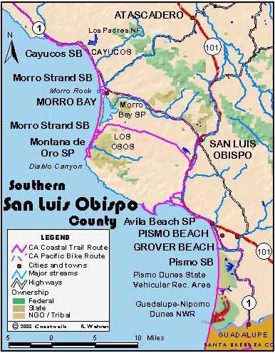
August 17: San Luis Obispo County Pismo Beach to Guadalupe Beach. 22.8 miles Yes, that is the correct mileage. We are in an area presenting a distinct cultural clash. A portion of the state park in the Nipomo Dune complex has been given over for the use of off-road vehicles. There is little coexisting with…
Read More
