Marin County
Marin County is blessed with 40 percent of its land protected in parks. Along its magnificent Pacific coastline, nearly all the land has been protected except in the far north. Because of the historic foresight of citizens and government here, the public can walk almost the entire Pacific coast of Marin County plus hundreds of miles of inland trails. In Marin County's 72¾ miles of Coastal Trail from Tomales Point to the Golden Gate Bridge, the CCT follows trails and beaches for almost 59 miles, more than 80 percent of the total. Of the 14 miles that CCT follows roads in Marin, only : quarter mile is on a highway.
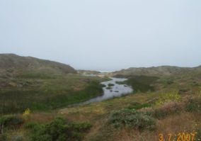
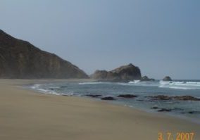
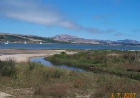
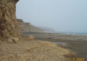
You'll find startling views from many points along Marin's Coastal Trail. Marin County has more than its share of dramatic landforms: the drowned valleys of Tomales Bay, Drake's Estero and Bolinas Lagoon, old-growth-forest draped Inverness Ridge, the immense marine terrace of Point Reyes, the steep slopes of Mount Tamalpais and the Marin Headlands. Beyond the Marin mainland you'll often see San Francisco Bay or the Farallon Islands in the distance. Sometimes surprising vistas of the San Francisco skyline appear from atop a remote windblown hill. At other times you'll see the north bay hills or mountains far to the south.
Marin's Coastal Trail begins in the tiny village of Valley Ford, following county roads through ranch land before reaching the coast at Dillon Beach. This inland route detours around steep rugged headlands held by ranchers and a mostly impassable tidal zone. After crossing Tomales Bay by boat, the Coastal Trail enters magnificent Point Reyes National Seashore to explore some of the most remarkable coastline in California. The CCT runs the length of Tomales Point, passing through lovely Tomales Bay State Park, then over Mount Vision. Then the Coastal Trail traverses designated wilderness in Point Reyes National Seashore for 15 miles, visiting some of the most spectacular scenery along the CCT. After visiting the small coastal villages of Bolinas and Stinson Beach, the CCT ascends the steep western slopes of Mount Tamalpais State Park. It then enters the Golden Gate National Recreation Area, climbing over three ridges with stunning views of the Bay Area. Marin's Coastal Trail concludes by dropping dramatically from the Marin Headlands to the north portal of the Golden Gate Bridge.
Did we mention the herds of tule elk and deer and abundant populations of birds of all shapes and sizes? What about the low-tide Alternate Route along one of the world's great tidepooling areas, Duxbury Reef? Altogether the trek through Marin County must be considered among the highlights of the California Coastal Trail.
Explore the Trail
Click a section to discover more detailed information on pieces of the trail that can be explored within a day. Find highlights of what each area has to offer as well as other resources.
Usage Notes

Legend: For details on the icons and trail colors, please click the legend icon on the map above.

Layers: Other layers are available. See the California Coastal Commission and Coastal Conservancy Completed Sections layer for the official completed trail segments. (About progress on the trail completion project.)

