Monterey County
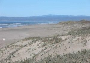
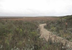
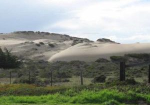
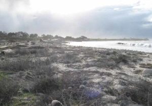
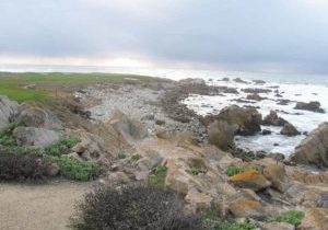
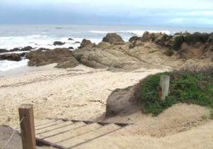
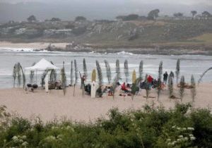
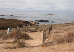
THIS VAST COUNTY sits smack in the middle of California's 1100-mile coast. With famous destinations like Carmel, Point Lobos, Monterey, Pebble Beach and Big Sur, it's no wonder Monterey County is the most popular tourist destination on California's coast. Monterey's spectacular 144 miles of CCT are second in length only to Humboldt's 148 miles, offering a microcosm of this most diverse trail. In northern Monterey County, the CCT follows the wild beaches of Monterey Bay where abundant birds thrive in dunes and wetlands rimmed with agricultural lands. Then CCT joins the multi-use Monterey Peninsula Recreation Trail, following it along a busy urban waterfront past two public wharves, Monterey State Historic Park and the superb Monterey Bay Aquarium. In Pacific Grove, CCT visits verdant shoreline public parks, then rounds Point Pinos, the tip of the Monterey Peninsula, to explore the wave swept rocky shore and wondrously white dunes of Asilomar State Beach.
The Coastal Trail continues along the dramatic coast west of world famous 17-Mile Drive, then turns inland through the exclusive Del Monte Forest/Pebble Beach resort area, returning to the coast at sparkling Carmel City Beach. After a corner of Carmel, CCT follows Carmel State Beach to reach sublime Point Lobos State Reserve. At Point Lobos the Coastal Trail explores "the greatest meeting of land and water in the world," passing thrilling vistas at most every turn in this superb array of coastal habitats harboring abundant marine and bird life.
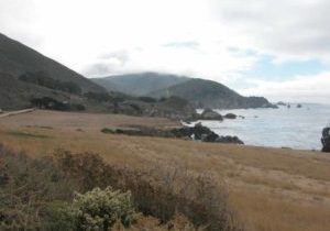
Leaving Point Lobos, the CCT has not yet traversed one third of Monterey County's gloriously varied shore. After touring affluent Carmel Highlands, CCT must follow Highway 1's shoulder through Garrapata State Park, Big Sur's northern gateway. Happily Garrapata's staff is creating new trail links, routing much of the Coastal Trail off the narrow highway. CCT hikers know they have reached Big Sur when they see the sweeping Bixby Bridge perched at the rugged mouth of Bixby Creek. CCT turns inland, winding along unpaved Old Coast Road through wild coastal hills and valleys, then returns to the coast dramatically, descending to the mouth of the Big Sur River and exploring the shore, slopes and ridges of Andrew Molera State Park. A short highway leg brings Monterey's CCT to its halfway point around Pfeiffer-Big Sur State Park.
The CCT promptly splits into two distinct routes, one of them offering a dramatic highlight and literal high point for California's Coastal Trail. CCT's Big Sur high route traces the coastal ridge through Ventana Wilderness, passing over the highest peak on California's coast, 5155-foot Cone Peak, on a challenging 43-mile route that's recommended for prepared hikers in spring and fall. CCT's Big Sur low route provides a highway-shoulder alternate if abilities or timing don't fit the high route. When these routes rejoin, 27 miles of coastal Monterey County remain. Heading south, CCT explores an expansive marine terrace unlike any other place in Big Sur, follows Highway 1 past Willow Creek's amazing chasm and the amusing outpost called Gorda, then explores the coastal mountains of Silver Peak Wilderness on another challenging and spectacular high route before returning to the highway to leave Monterey County and Big Sur.
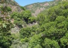
Monterey County's leg of the CCT spans from urban culture to rugged wilderness, from beaches to mountains, and from redwood forests to cactus patches. Included in the bargain are wetlands and dunes, waterfalls and mountain meadows, gentle marine terraces and precipitous shoreline cliffs, historic districts and world famous golf courses, and gentle bay and wild ocean.
Explore the Trail
Click a section to discover more detailed information on pieces of the trail that can be explored within a day. Find highlights of what each area has to offer as well as other resources.
Usage Notes

Legend: For details on the icons and trail colors, please click the legend icon on the map above.

Layers: Other layers are available. See the California Coastal Commission and Coastal Conservancy Completed Sections layer for the official completed trail segments. (About progress on the trail completion project.)

